Home » Knowledge base » Understand the CON29DW
CLICK ARROW TO VIEW
OTHER CATEGORIES
Contents
Understand the CON29DW
Introduction
CON29DW is a report that provides details about the water and sewerage infrastructure for residential or commercial properties in England.
Our comprehensive, Law Society-approved CON29DW Drainage and Water report is produced in-house for the Severn Trent region and is typically delivered to you in less than half a day.
If Severn Trent does not serve your client, don’t worry; we can still provide you with a report covering that area. If you’re unsure which water company serves your prospective buyer’s property, you can find out here.
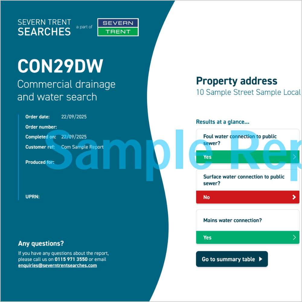
The CON29DW residential report
This report answers the following questions for your client:
Maps
- 1.1 Where relevant, please include a copy of an extract from the public sewer map.
- 1.2 Where relevant, please include a copy of an extract from the map of waterworks.
Drainage
- 2.1 Does foul water from the property drain to a public sewer?
- 2.2 Does surface water from the property drain to a public sewer?
- 2.3 Is a surface water drainage charge payable?
- 2.4 Does the public sewer map indicate any public sewer, disposal main or lateral drain within the boundaries of the property?
- 2.4.1 Does the public sewer map indicate any public pumping station or any other ancillary apparatus within the boundaries of the property?
- 2.5 Does the public sewer map indicate any public sewer within 30.48 metres (100 feet) of any buildings within the property?
- 2.5.1 Does the public sewer map indicate any public pumping station or any other ancillary apparatus within 50 metres of any buildings within the property?
- 2.6 Are any sewers or lateral drains serving, or which are proposed to serve the property, the subject of an existing adoption agreement or an application for such an agreement?
- 2.7 Has a Sewerage Undertaker approved or been consulted about any plans to erect a building or extension on the property over or in the vicinity of a public sewer, disposal main or drain?
- 2.8 Is the building which is or forms part of the property at risk of internal flooding due to overloaded public sewers?
- 2.9 Please state the distance from the property to the nearest boundary of the nearest sewage treatment works.
Water
- 3.1 Is the property connected to mains water supply?
- 3.2 Are there any water mains, resource mains or discharge pipes within the boundaries of the property?
- 3.3 Is any water main or service pipe serving, or which is proposed to serve the property, the subject of an existing adoption agreement or an application for such an agreement?
- 3.4 Is the property at risk of receiving low water pressure or flow?
- 3.5 What is the classification of the water supply for the property?
- 3.6 Please include details of the location of any water meter serving the property.
Charging
- 4.1.1 Who is responsible for providing the sewerage services for the property?
- 4.1.2 Who is responsible for providing the water services for the property?
- 4.2 Who bills the property for sewerage services?
- 4.3 Who bills the property for water services?
- 4.4 What is the current basis for charging for sewerage and/or water services at the property?
- 4.5 Will the basis for charging for sewerage and water services at the property change as a consequence of a change of occupation?
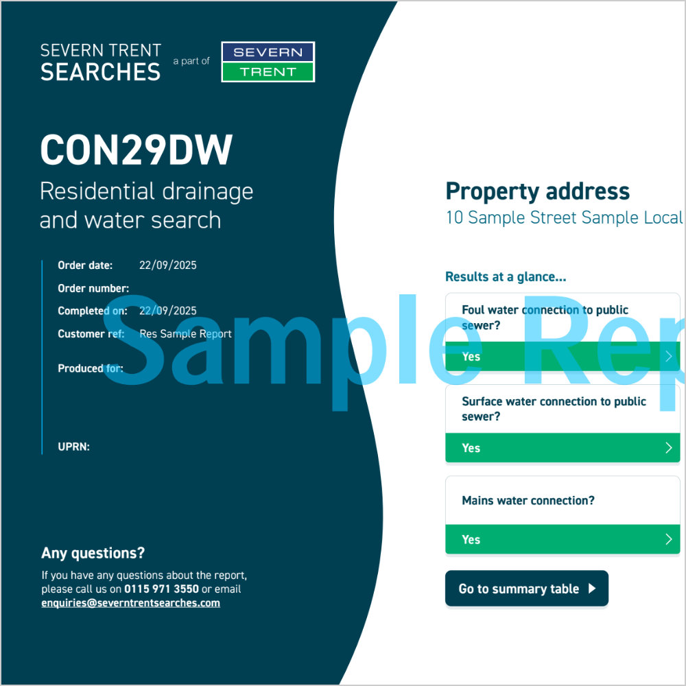
The CON29DW commercial report
This report answers the following questions for your client:
Maps
- 1.1 Where relevant, please include a copy of an extract from the public sewer map.
- 1.2 Where relevant, please include a copy of an extract from the map of waterworks.
Drainage
- 2.1 Does foul water from the property drain to a public sewer?
- 2.2 Does surface water from the property drain to a public sewer?
- 2.3 Is a surface water drainage charge payable?
- 2.4 Does the public sewer map indicate any public sewer, disposal main or lateral drain within the boundaries of the property?
- 2.4.1 Does the public sewer map indicate any public pumping station or any other ancillary apparatus within the boundaries of the property?
- 2.5 Does the public sewer map indicate any public sewer within 30.48 metres (100 feet) of any buildings within the property?
- 2.5.1 Does the public sewer map indicate any public pumping station or any other ancillary apparatus within 50 metres of any buildings within the property?
- 2.6 Are any sewers or lateral drains serving, or which are proposed to serve the property, the subject of an existing adoption agreement or an application for such an agreement?
- 2.7 Has a Sewerage Undertaker approved or been consulted about any plans to erect a building or extension on the property over or in the vicinity of a public sewer, disposal main or drain?
- 2.8 Is the building which is or forms part of the property at risk of internal flooding due to overloaded public sewers?
- 2.9 Please state the distance from the property to the nearest boundary of the nearest sewage treatment works.
Water
- 3.1 Is the property connected to mains water supply?
- 3.2 Are there any water mains, resource mains or discharge pipes within the boundaries of the property?
- 3.3 Is any water main or service pipe serving, or which is proposed to serve the property, the subject of an existing adoption agreement or an application for such an agreement?
- 3.4 Is the property at risk of receiving low water pressure or flow?
- 3.5 What is the classification of the water supply for the property?
- 3.6 Is there a meter installed at this property?
- 3.7 Please include details of the location of any water meter serving the property.
Charging
- 4.1.1 Who is responsible for providing the sewerage services for the property?
- 4.1.2 Who is responsible for providing the water services for the property?
- 4.2 Who bills the property for sewerage services?
- 4.3 Who bills the property for water services?
Additional
- 5.1 Is there a Consent to discharge Trade Effluent under S118 of the Water Industry Act, 1991 into the public sewer system?
- 6.1 Is there a wayleave/easement agreement giving the Sewerage and/or Water Undertaker the right to lay or maintain assets or right of access to pass through private land in order to reach the Company’s assets?
- 6.2 On the copy extract from the public sewer map, please show manhole cover, depth and invert levels where the information is available.